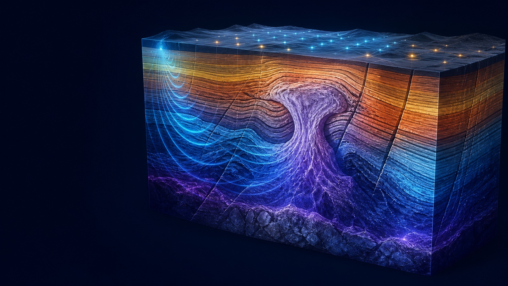
Mathematical and computational modeling for seismic image enhancement in emerging Colombian basins using domain adaptation
Vicerrectoría de Investigación y Extensión, Universidad Industrial de Santander
Computational geophysics · Inverse theory · Scientific AI
Reconstructing the hidden Earth through wave physics, optimization and machine intelligence.
Geologist · M.Sc. in Geophysics · Scientific Machine Learning Researcher
Universidad Industrial de Santander
2 first-author
Physics-aware learning and optimization
11 with public documentation
Research agenda
How can mathematical structure, physical knowledge, and learned representations be combined to produce inverse methods that are stable, identifiable, uncertainty-aware, and scalable enough for scientific discovery?View the complete research agenda
Research focus / 01
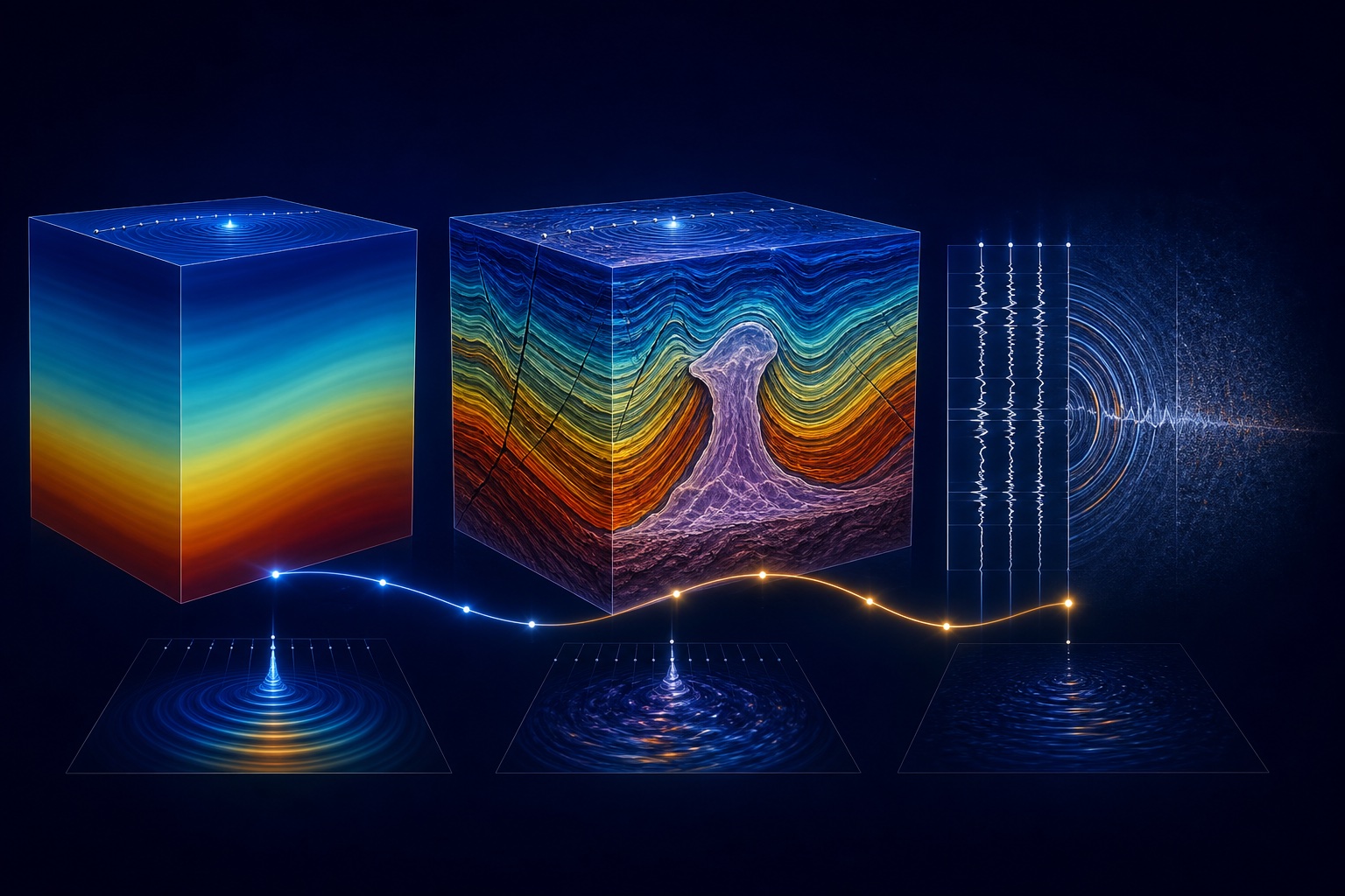
My work sits at the interface of full-waveform inversion, computational imaging and scientific machine learning: designing methods that recover high-resolution subsurface structure while respecting the governing physics.
Selected scholarship
First author · journal article · IEEE Transactions on Geoscience and Remote Sensing
First author · journal article · Gondwana Research
journal article · The Leading Edge
Research practice
Vicerrectoría de Investigación y Extensión, Universidad Industrial de Santander
MINCIENCIAS-ANH
Vicerrectoría de Investigación y Extensión, Universidad Industrial de Santander
Scientific breadth
Experience spans seismic imaging, gravity-magnetic-magnetotelluric inversion, geothermal 3D modeling, SAR interpretation, geospatial AI, and physics-guided learning.
View the full trajectoryNews
Ana Gabriela Mantilla Dulcey and teammates León Santiago Suárez Rodríguez and Luis Miguel Rodríguez López were recognized for a geospatial AI platform supporting forest-fire management.